No. 201
Pergamon

- Where
- Turkey
- Built by
- Attalid kings
- Era
- 281-133 BCE peak
- Known for
- The Pergamon Altar, a great library and one of the steepest theaters ever built.
- How it ended
- Willed to Rome in 133 BCE; it faded after raids in the 600s CE.

Lyra Kael can take you here on the globe, tell you the story out loud and answer your questions. Start the time jump.
Background
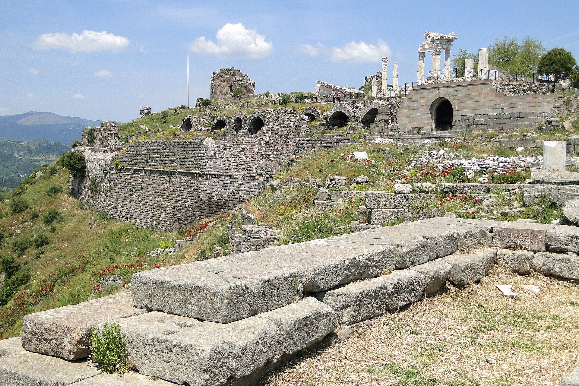
Pergamon or Pergamum ( or ; Ancient Greek: Πέργαμον), also referred to by its modern Greek form Pergamos (Πέργαμος), was a rich and powerful ancient Greek city in Aeolis. It is located 26 kilometres (16 mi) from the modern coastline of the Aegean Sea on a promontory on the north side of the river Caicus (modern-day Bakırçay) and northwest of the modern city of Bergama, Turkey.
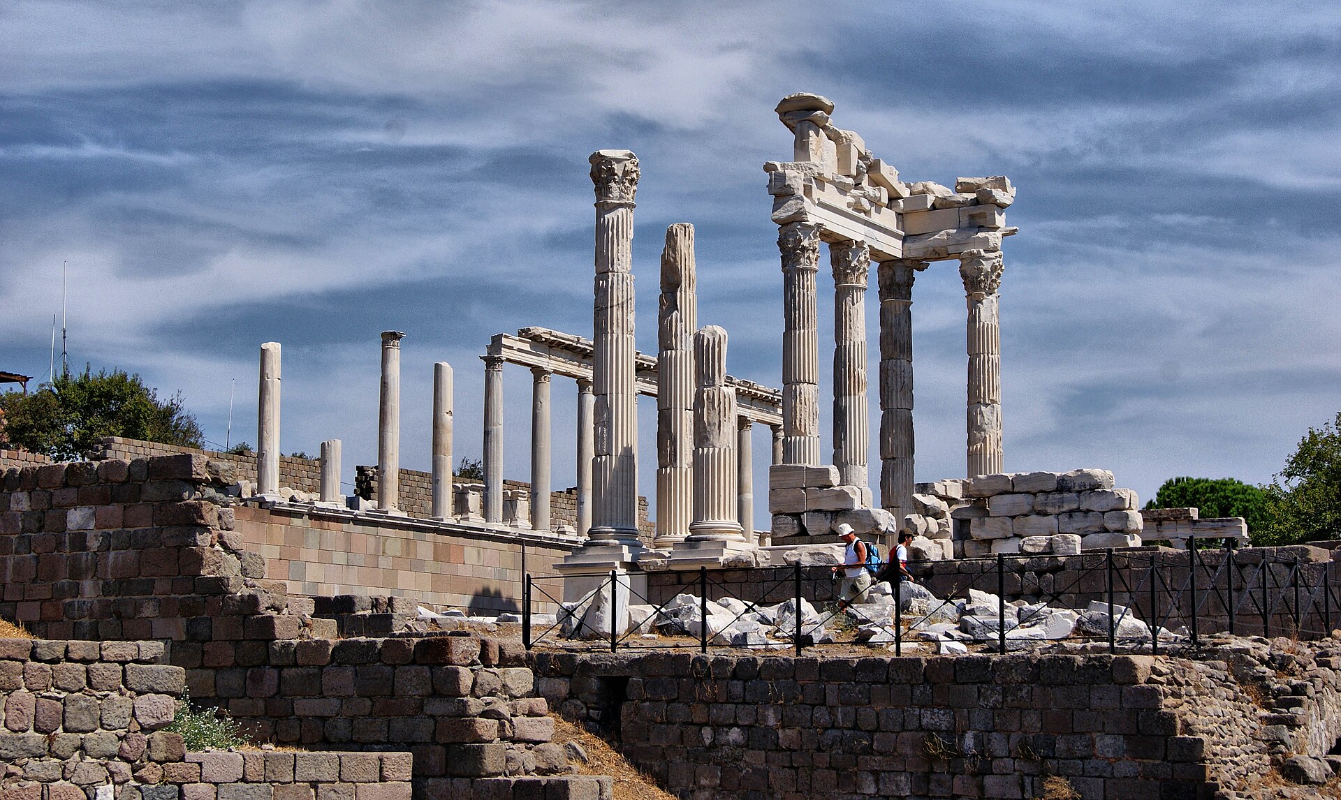
During the Hellenistic period, it became the capital of the Kingdom of Pergamon in 281–133 BC under the Attalid dynasty, who transformed it into one of the major cultural centres of the Greek world. The remains of many of its monuments are still visible today, most notably the masterpiece of the Pergamon Altar. Pergamon was the northernmost of the seven churches of Asia cited in the New Testament Book of Revelation.
The city is centered on a 335-metre-high (1,100 ft) mesa of andesite, which formed its acropolis. This mesa falls away sharply on the north, west, and east sides, but three natural terraces on the south side provide a route up to the top. To the west of the acropolis, the Selinus River (modern Bergamaçay) flows through the city, while the Cetius river (modern Kestelçay) passes by to the east.
Pergamon was added to the UNESCO World Heritage List in 2014.
Text from Wikipedia, licensed CC BY-SA 4.0.