No. 99
Nazca Lines

- Where
- Peru
- Built by
- Nazca culture
- Era
- 500 BCE-500 CE
- Known for
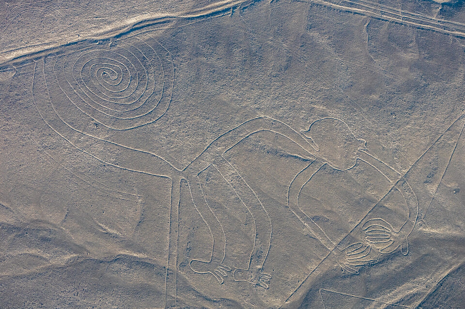
- Ground drawings so big they read best from the air.
- How it ended
- Nazca society broke down, likely under drought and El Nino.

Lyra Kael can take you here on the globe, tell you the story out loud and answer your questions. Start the time jump.
Background
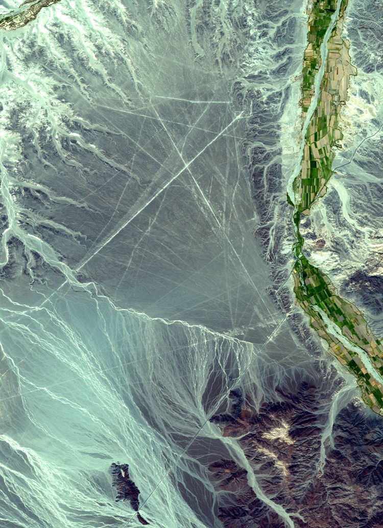
The Nazca lines (, ) are a group of geoglyphs made in the soil of the Nazca Desert in southern Peru. They were created between 500 BC and 500 AD by people making depressions or shallow incisions in the desert floor, removing pebbles and leaving different-colored dirt exposed. There are two major phases of the Nazca lines, Paracas phase, from 400 to 200 BC, and Nazca phase, from 200 BC to 500 AD. In the 21st century, several hundred new figures have been found with the use of drones, and archaeologists believe that there are more to be found.
Most lines run straight across the landscape, but there are also figurative designs of animals and plants. The combined length of all the lines is more than 1,300 km (800 mi), and the group covers an area of about 50 km2 (19 sq mi). The lines are typically 10 to 15 cm (4–6 in) deep. They were made by removing the top layer of reddish-brown ferric oxide–coated pebbles to reveal a yellow-grey subsoil. The width of the lines varies considerably, but more than half are slightly more than 33 cm (13 in) wide. In some places they may be only 30 cm (12 in) wide, and in others reach 1.8 m (6 ft) wide.
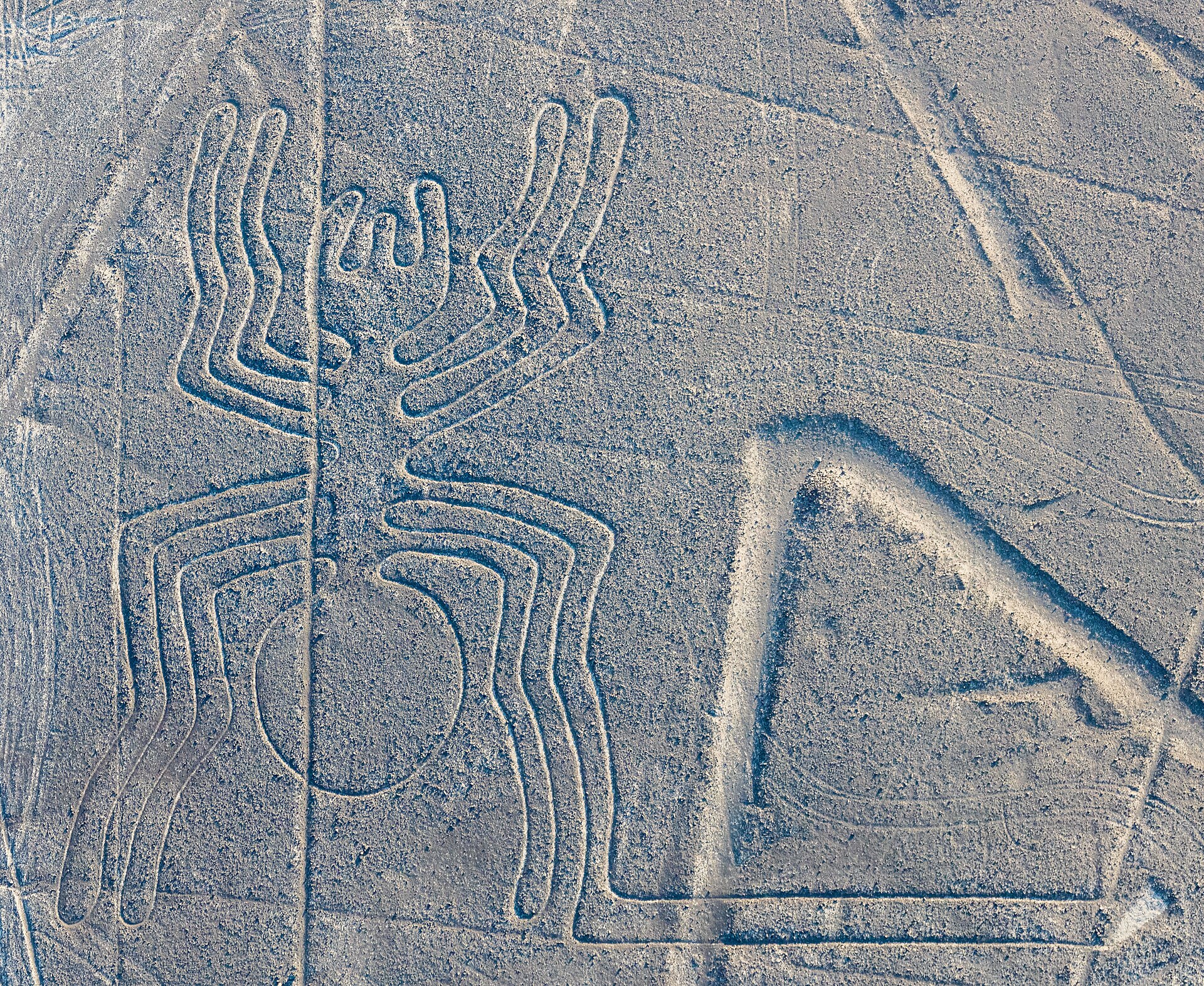
Some of the Nazca lines form shapes that are best seen from the air (at around 500 m [1,600 ft]), although they are also visible from the surrounding foothills and other high places. The shapes are usually made from one continuous line. The largest ones are about 370 m (400 yd) long. Because of its isolation and the dry, windless, stable climate of the plateau, the lines have mostly been preserved naturally. Extremely rare changes in weather may temporarily alter the general designs. As of 2012, the lines are said to have been deteriorating because of an influx of squatters inhabiting the lands.
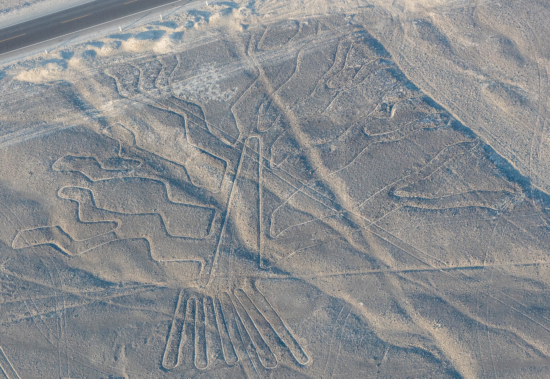
The figures vary in complexity. Hundreds are simple lines and geometric shapes; more than 70 are zoomorphic designs, including a hummingbird, arachnid, fish, condor, heron, monkey, lizard, dog, cat, and a human. Other shapes include trees and flowers. Scholars differ in interpreting the purpose of the designs, but in general, they ascribe religious significance to them. They were designated in 1994 as a UNESCO World Heritage Site.
Text from Wikipedia, licensed CC BY-SA 4.0.