No. 128
Doggerland

- Where
- North Sea
- Built by
- Mesolithic hunters
- Era
- until about 6500 BCE
- Known for
- The lost land that once joined Britain to Europe.
- How it went under
- Rising seas, finished off by the Storegga tsunami.

Lyra Kael can take you here on the globe, tell you the story out loud and answer your questions. Start the time jump.
Background
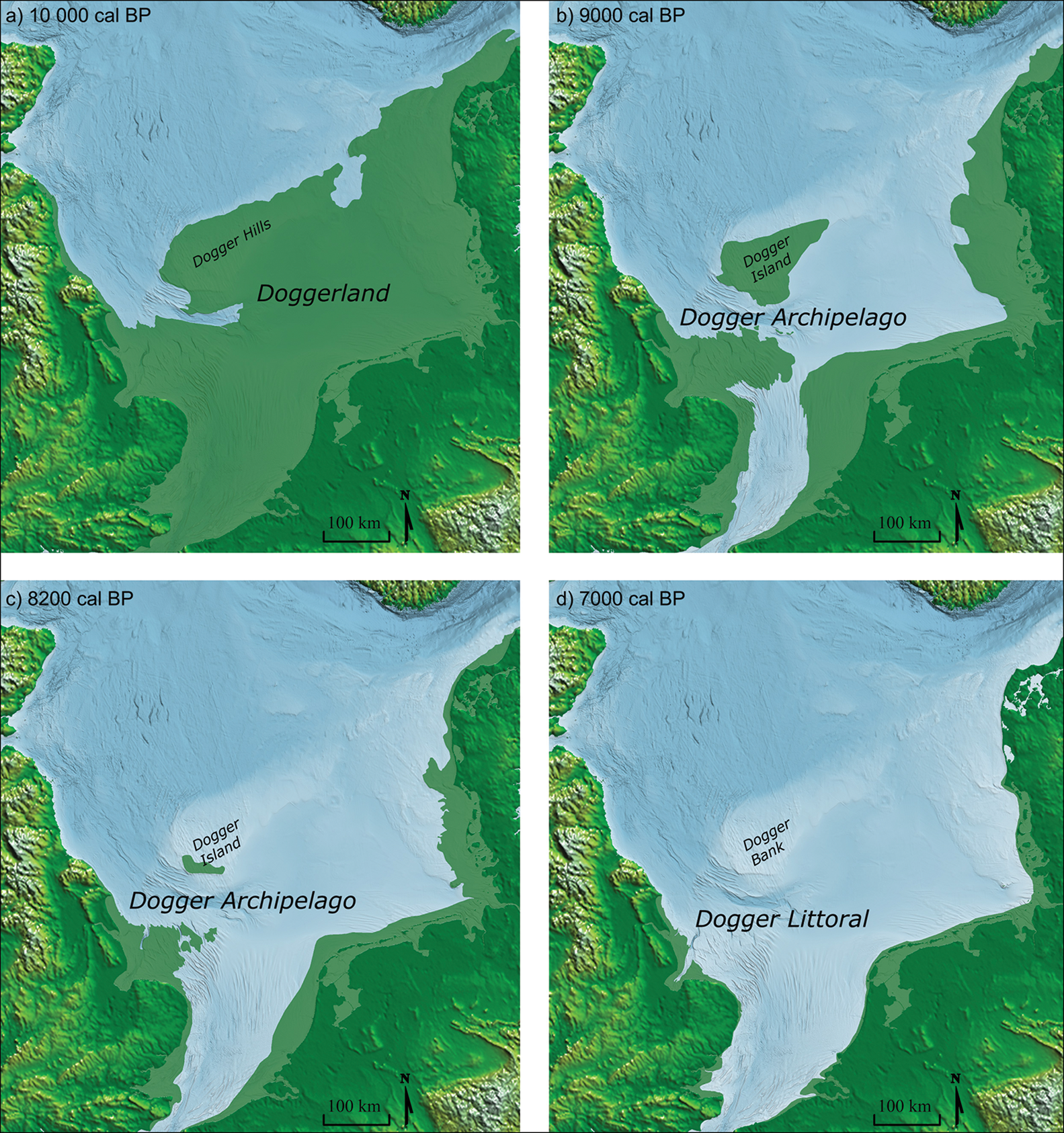
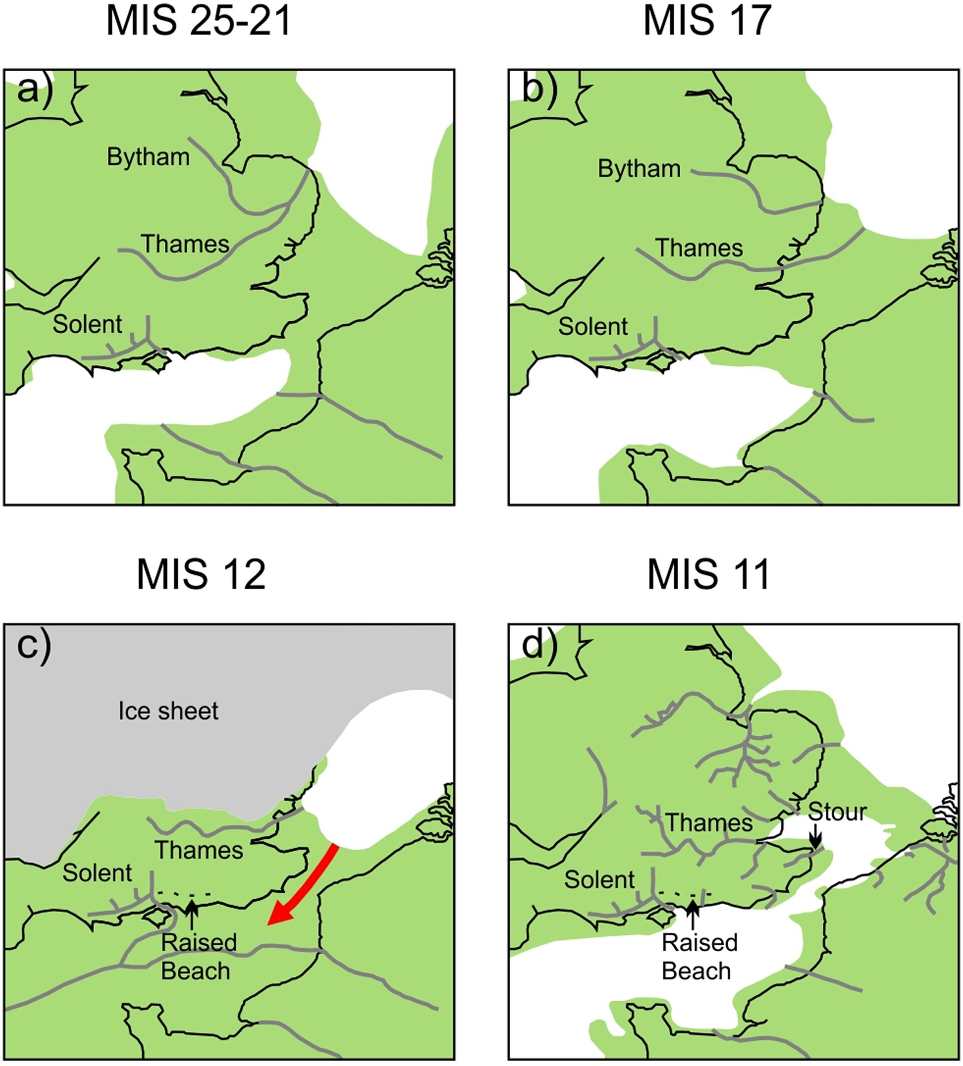
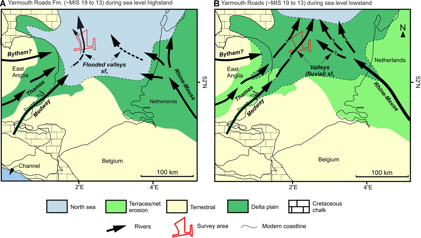
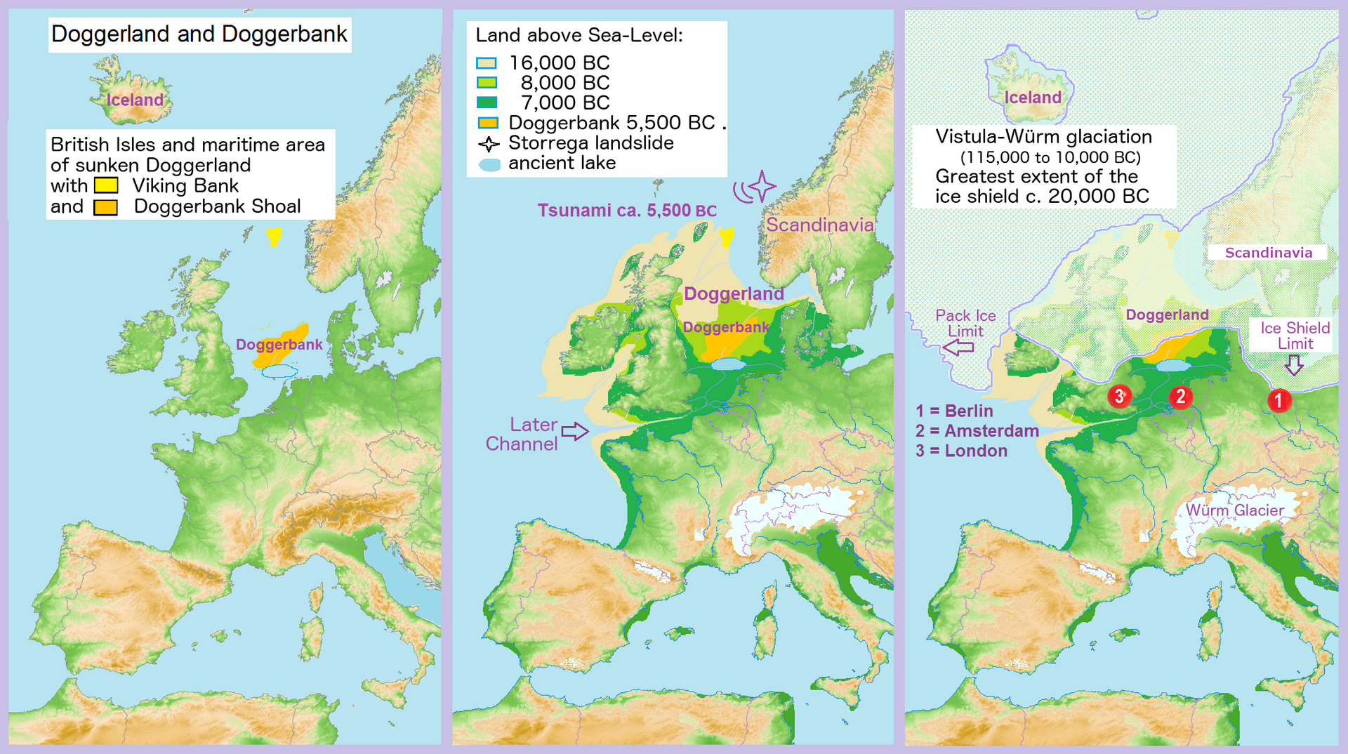
Doggerland was a large area of land in Northern Europe, now submerged beneath the southern North Sea. This region was repeatedly exposed at various times during the Pleistocene epoch due to the lowering of sea levels during glacial periods. However, the term "Doggerland" is generally used for this region during the Late Pleistocene and Early Holocene. During the early Holocene following the glacial retreat at the end of the Last Glacial Period, the exposed land area of Doggerland stretched across the region between what is now the east coast of Great Britain, northern France, Belgium, the Netherlands, north-western Germany, and the Danish peninsula of Jutland. Between 10,000 and 7,000 years ago, Doggerland was inundated by rising sea levels, disintegrating initially into a series of low-lying islands before submerging completely. The impact of the tsunami generated by the Storegga underwater landslide c. 8,200 years ago on Doggerland is controversial. The flooded land is known as the Dogger Littoral.
Doggerland was named after the present-time Dogger Bank (which in turn was named after 17th-century Dutch fishing boats called doggers), which is the remains of a highland region that became submerged later than the rest of Doggerland.
The archaeological potential of the area was first identified in the early 20th century. Interest intensified in 1931 when a fishing trawler operating east of the Wash dragged up a barbed antler point that was subsequently dated to a time when the area was tundra. Vessels have since dragged up remains of mammoths, lions and other animals, and a few prehistoric tools and weapons. Most archaeological evidence of human habitation dates to the Mesolithic period during the early Holocene.
Text from Wikipedia, licensed CC BY-SA 4.0.